







NORTHERN MICHIGAN — More than 17,000 homes and businesses remain without power following the devastating ice storm that swept through the region in late March.
Presque Isle Electric & Gas Co-op reports that more than 350 crews have restored over 70 percent of service as of midnight. In the past 12 days, crews have replaced 1,182 miles of power lines and 1,090 utility poles.
Consumers Energy has also made significant progress, replacing over 800 utility poles. It has not disclosed how many miles of line have been replaced.
Current County Power Outage Totals (as of 11:16 a.m.):
• Oscoda County – 711 out of 9,718 meters (7.3%)
• Crawford – 1,494 out of 12,136 meters (12.3%)
• Otsego– 3,913 out of 19,013 meters (20.6%)
• Montmorency – 2,852 out of 9,674 meters (29.5%)
• Alpena– 5 out of 20,970 meters (0.02%)
• Cheboygan – 5,290 out of 21,739 meters (24.3%)
• Emmet – 2,560 out of 18,067 meters (14.2%)
• Charlevoix – 567 out of 17,832 meters (3.2%)
• Mackinac – 434 out of 11,904 meters (3.6%)
Presque Isle Electric reported extensive activity across its nine-county service area. For example, 64 crews were deployed in Montmorency County, 61 in Presque Isle County, 46 in Cheboygan County, and 23 in Alpena County. Specific areas such as Hawks, Lewiston, and Atlanta saw especially high concentrations of repair crews due to severe damage.
“We expect to make continued significant progress restoring power over the next few days and into the weekend,” the utility company stated in a release. “We anticipate having all main lines and taps fully energized by Monday morning.”

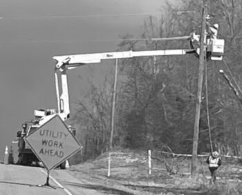
“Our system sustained more damage than any other utility in the state during this storm. We’re grateful for our members’ patience and support during this challenging rebuild. The resilience of our northern Michigan communities is inspiring, and we’re proud to serve you. The end is in sight—we will get through this together.”
Road conditions and access updates
Northern Michigan residents now have access to a new interactive map showing roads cleared following the storm. Developed under the coordination of the State Emergency Operations Center, the project is a collaborative effort involving the Michigan Department of Natural Resources (DNR) Incident Management Team, the Michigan National Guard, and other partners.
Keith Murphy, Operations Chief for the DNR Incident Management Team, reported that over 630 miles of road have been cleared. He stressed the importance of open routes for emergency response and noted that the map allows residents to navigate safely and more effectively.
The map is being continuously updated as more roads are cleared. It identifies roads managed by the DNR team and those maintained by county road commissions, fire departments, and additional cooperating agencies. However, it is not a comprehensive list of all cleared roads.
Captain Kevin Sweeney of the Michigan State Police praised the collaborative effort and said the improved road access has not only enhanced public safety but also supported the reopening of schools. He expressed appreciation for the public’s patience as recovery work continues.
Additionally, crews have cleared debris from 34 state radio towers and all 13 cellular towers assigned to the DNR team.
DNR Update (12:14 p.m.)
Park and Campground Reopenings
Most state park campgrounds and overnight lodging are expected to open as scheduled this spring, though some may face delays. Clear Lake State Park is the only campground with a confirmed delay of two to four weeks.
“We know people are eager to get outside,” said Ron Olson, chief of the DNR Parks and Recreation Division. “We expect to reopen many locations in the coming weeks.”
Nearly all reservations will be honored, with about 30 adjusted so far.
Public safety reminders
Seventeen debris disposal sites are open. Dumping on public land is illegal and can spread invasive species. For the latest updates, visit Michigan.gov/DNRClosures and search “ice storm.”
Storm recovery resources
To access the interactive map and other storm recovery tools, visit: Michigan.gov/IceStorm
Off-Road access
Paths, trails and two-tracks across the region are closed due to safety reasons. For more information visit: State managed trail info
-
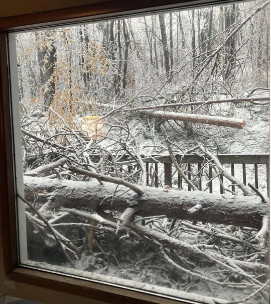
- From the window of Deb Rae Wells in Gaylord.

-
- Lovells Township Fire Department

-
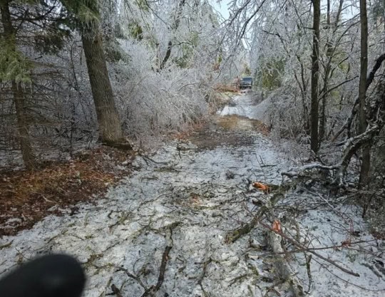
- Photo by Brenda Wolschleger

-
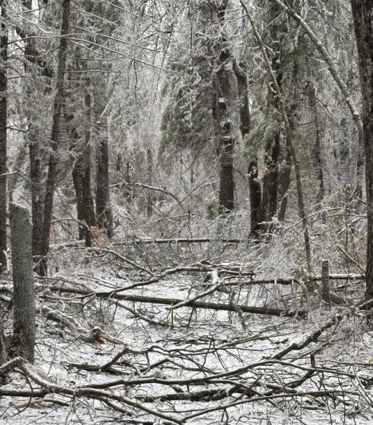
- The driveway of Katie Parks in Lewiston

-
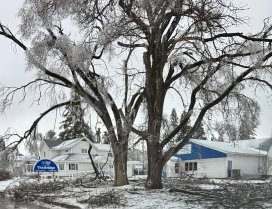
- North of Fairview

-

- Ice covered power lines in Lewiston

-
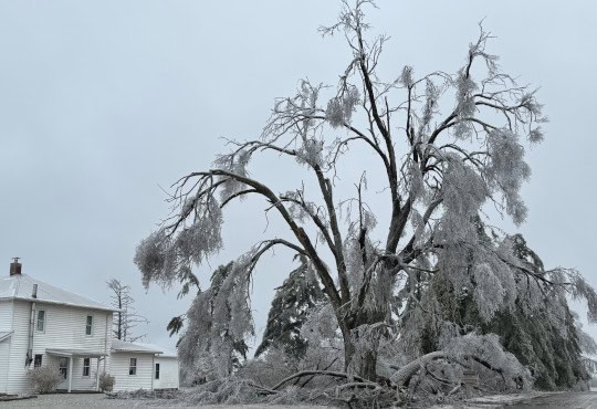
- A home on Kittle Road in Mio

-
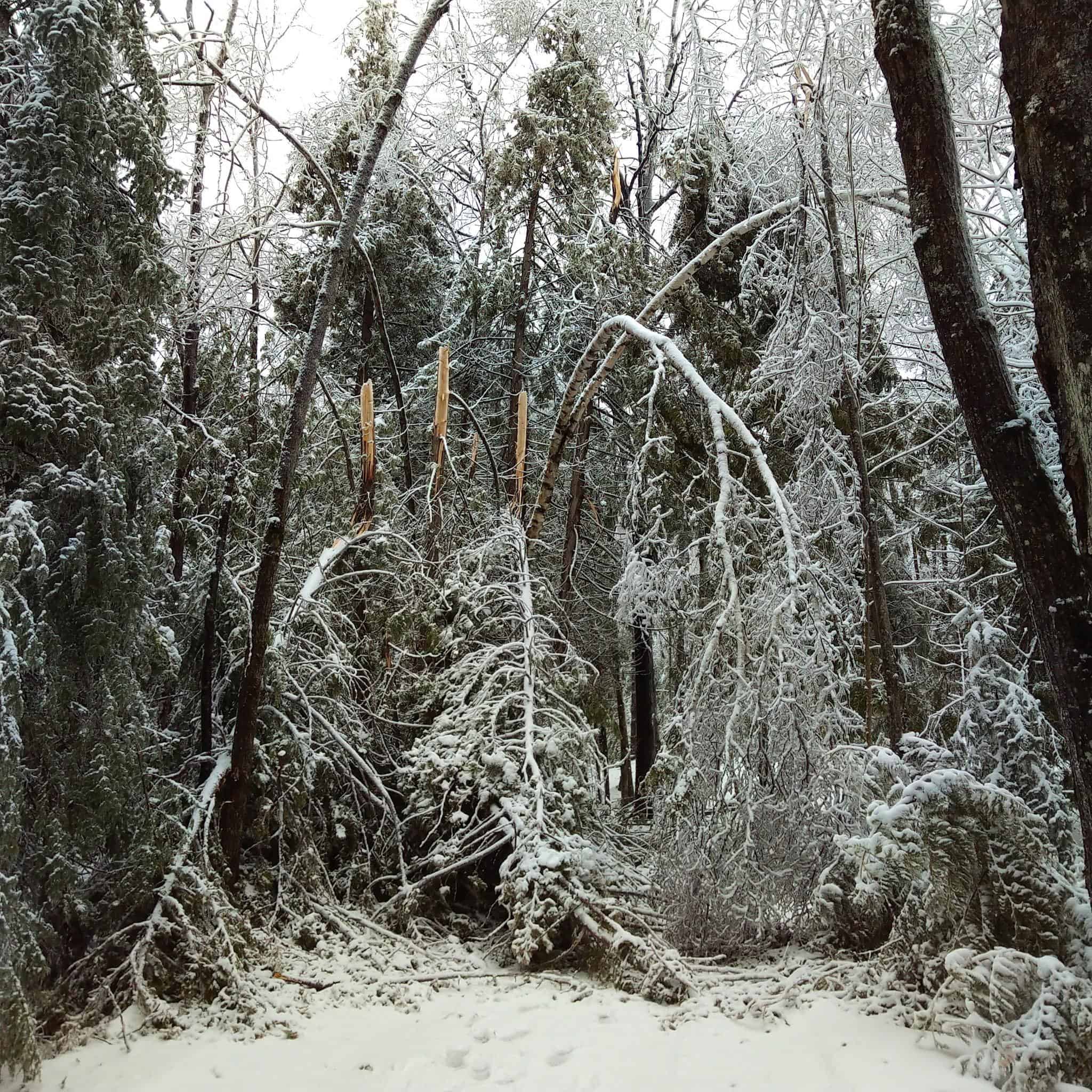
- Photo of damage in the Cheboygan area. Photo courtesy of Beth Barber.

-

- Ice on the tree needles

-
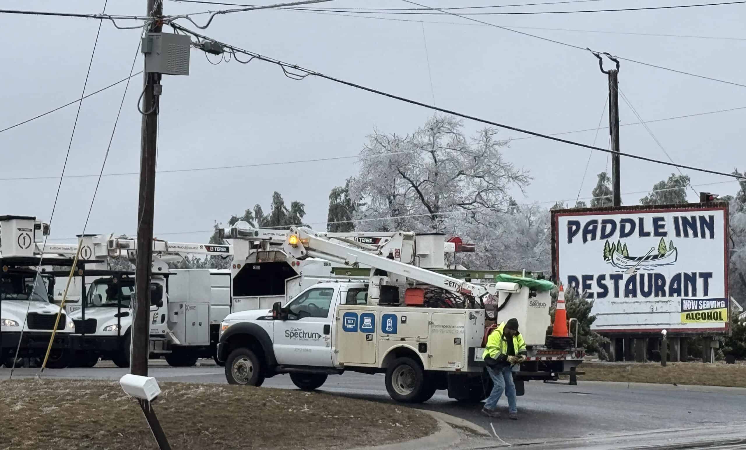
- More than 900 utility crews are available for cleanup

-
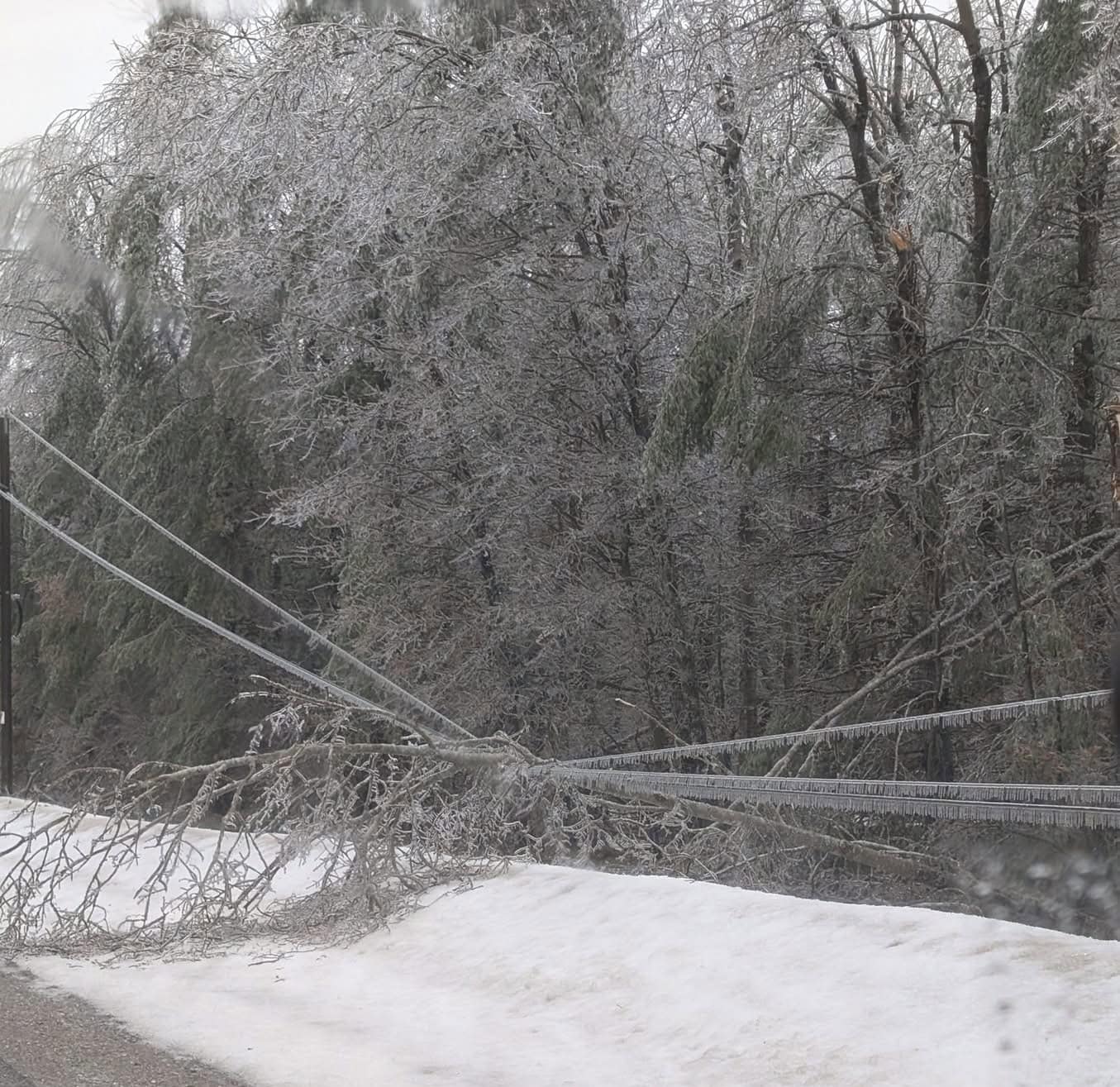
- Trees fell on power lines and across the road

-

- A Mio driveway. Photo courtesy of Roger Ott

-
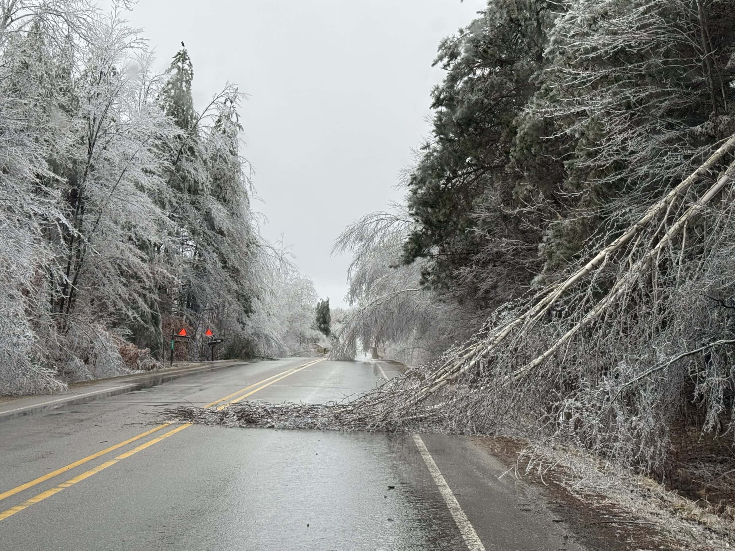
- Near Garland in Lewiston
-
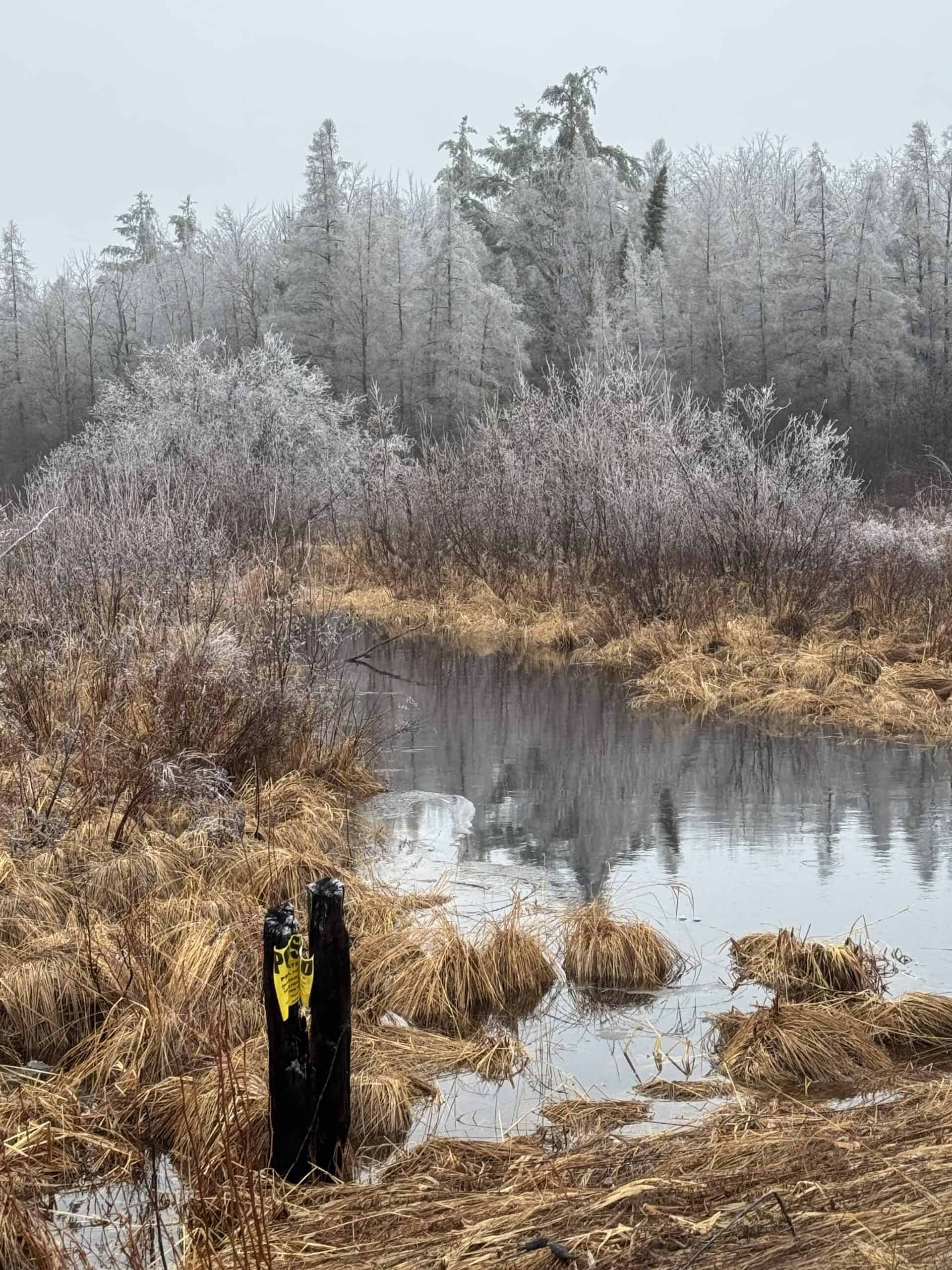
- Northern Roscommon County
-
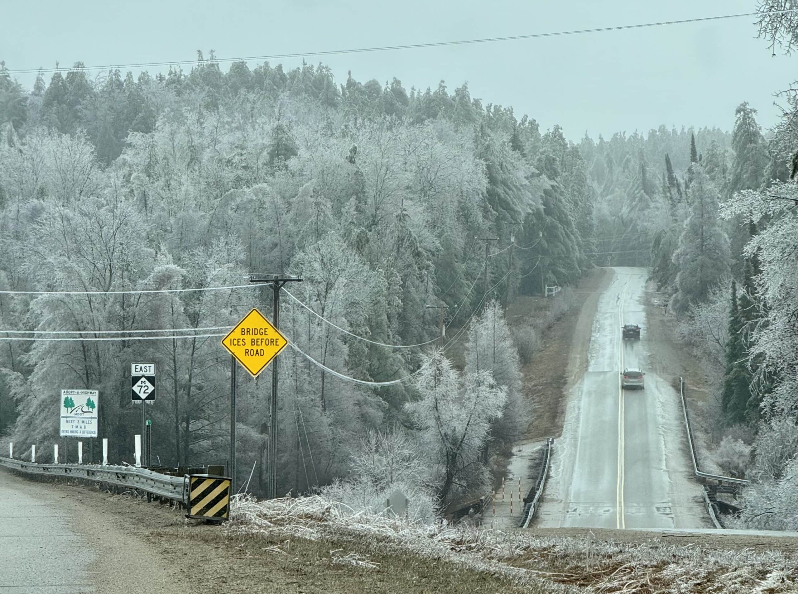
- Coming east on M-72 out of Luzerne